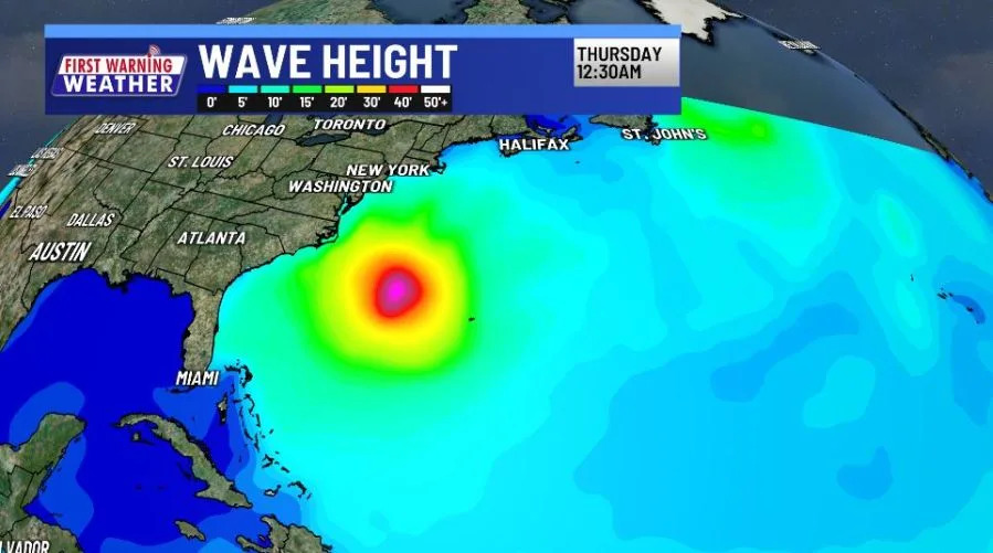
AUSTIN (KXAN) — Hurricane Erin continues to move WNW as a Major Hurricane. Traveling along the U.S. East Coast? Erin will create a high rip current risk and large waves with some gusty winds.

In the Eastern Atlantic Basin, a new tropical wave could develop into our next named storm. The tropics are waking up! As of now, the National Hurricane Center forecasts a low area of potential development (yellow polygon).
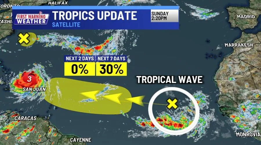
However, the wave is entering a favorable environment for intensification.
Closer to home, a pattern change will bring several days of rain chances, which could temporarily cool us down from time to time.
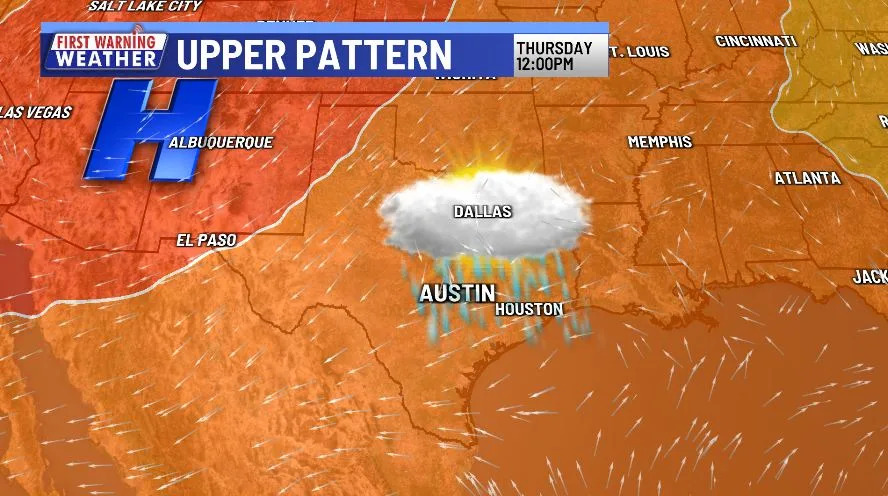
Locally, high temperatures will still be near triple-digits for most of the workweek.
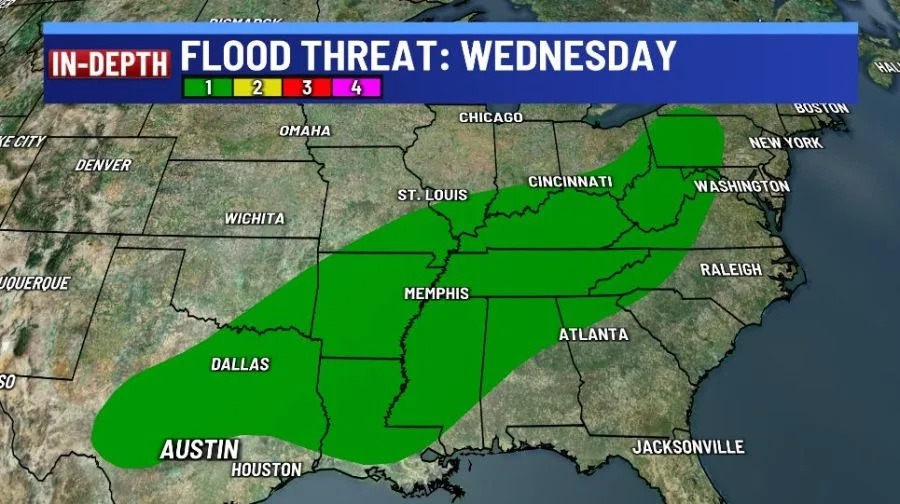
There is a low-end flood risk for most of Texas and the Deep South on both Wednesday and Thursday.
We are now at the point in the summer where the severe weather risk across CONUS is generally low, with a few daily thunderstorms possible.
Beyond the next week, the Climate Prediction Center forecasts warmer-than-normal temperatures in the south and cooler-than-normal temperatures in the north. Above-normal precipitation is in the forecast for most of the West Coast, with a below-normal forecast in the Midwest.
Copyright 2025 Nexstar Media, Inc. All rights reserved. This material may not be published, broadcast, rewritten, or redistributed.
For the latest news, weather, sports, and streaming video, head to KXAN Austin.


Comments