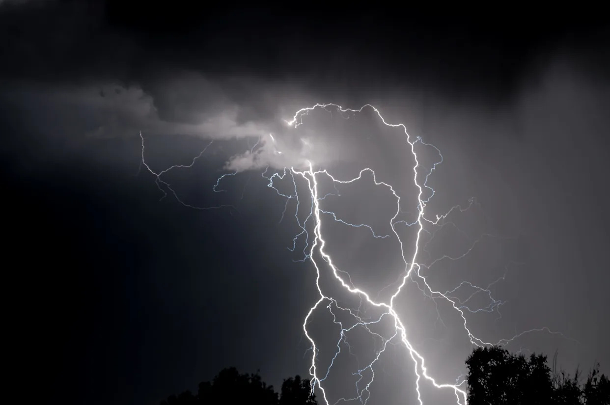
Northwestern Iowa was hit by damaging winds ranging from 80 to 100 mph as a powerful storm meteorologists warned had the potential to develop into a derecho moved across the Plains.
The high winds toppled trees and power lines, resulting in damage to houses as well as property starting late on July 28, 2025. Gusts above 80 mph stretched as far east as Cedar Rapids, with the southern half of Iowa experiencing winds ranging from 50 to 60 mph.
One tornado warning was issued for northern Iowa around Sheldon and Doon, but no tornado sighting has been confirmed as of 8 a.m. July 29. The National Weather Service office in Sioux Falls, South Dakota, still has to survey the total extent of the damage from the storm, the office told the Des Moines Register on Tuesday morning.
Did Iowa have a derecho?
It is unknown whether the severe winds in Iowa are classified as a derecho yet, said Todd Heitkamp, a meteorologist for the National Weather Service in Sioux Falls.
Meteorologists in Sioux Falls submitted data from the storm to the National Weather Service's Storm Prediction Center, which determines if the high winds met the criteria for a derecho.
Regardless of the storm's classification, it doesn't change the impact the damage had on Iowa, Heitkamp said.
"That's just a title used to name a storm," Heitkamp said. "The storm was significant enough as it is, whether or not we classify it as a derecho, with wind speeds up to 100 mph."
What is a derecho?
Sustained wind speeds must exceed 58 mph to be classified as a derecho and the storm has to last at least 250 miles.
Derechos often develop in the northern hemisphere during warm weather and are accompanied, or preceded by, strong thunderstorms. In some cases, a derecho can create tornadoes.
Storm damage reports in Iowa
Multiple trees were damaged and power lines destroyed in northwest Iowa.
Access to Primghar was temporarily limited when multiple trees blocked Iowa Highway 51. City officials told the Register the highway was closed for roughly 10 minutes and reopened since the report around 11 p.m.
An enclosed trailer was flipped over near Alton.
What were the highest wind speeds reported in Iowa?
Here are areas in Iowa with the highest wind speed reports as of 8:30 a.m., July 29, according to the Iowa Environmental Mesonet.
Sioux Center: 99 mph
Spencer: 92 mph
Orange City: 92 mph
Spencer: 87 mph
Cedar Rapids: 83 mph
Where are power outages in Iowa?
MidAmerican power outage reports as of 9 a.m. in Iowa include:
Waterloo: 3,935 customers
Storm Lake: 1,366 customers
Iowa Association of Electric Cooperatives' power outages include:
Sioux County: 329 customers
Are more storms on the way for northwestern Iowa?
Iowa hasn't seen the last of its severe weather this week.
Northwestern Iowa could see some heavy rainfall on July 29 and into the early hours of July 30. While damaging winds aren't expected with this storm, the thunderstorms could cause flooding. Around Storm Lake, Iowa, new rainfall could amount to over 2 inches, according to the National Weather Service.
What is the forecast for Des Moines?
Des Moines will see a hot, sunny day on July 29. Showers and thunderstorms are likely in the evening and early hours of July 30. Winds should range from 5 mph to 7 mph. New rainfall could amount to 1 to 2 inches from July 29 to July 30, according to the National Weather Service.
Reporting contributed by Victoria Reyna-Rodriguez.
Kate Kealey is a general assignment reporter for the Register. Reach her at [email protected] or follow her on Twitter at @Kkealey17.
This article originally appeared on Des Moines Register: Was there a derecho in Iowa? See wind speed, storm damage reports


Comments