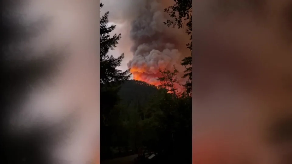
Thunderstorms that swept across eastern South Dakota during the afternoon and evening of July 28 likely combined to form a derecho.
Todd Heitkamp, meteorologist-in-charge at the National Weather Service in Sioux Falls, told the Argus Leader that the line of storms appeared to coalesce into a derecho over Sioux Falls, or possibly to the south of the city.
However, the decision of whether to officially classify a storm as a derecho is made by the National Weather Service's Storm Prediction Center.
More: How many tornado warnings were issued during the July 28 storms?
Ultimately, though, the label doesn't make much difference, Heitkamp said.
"What I've been telling people all along is that I don't care what we call a storm," he said. "It's still responsible for a widespread amount of damage."
Related: When was the last time a derecho hit South Dakota? A look back at past storms in the state
What is a derecho?
A derecho is a widespread, long-lived wind storm associated with a band of rapidly moving showers or thunderstorms, according to the National Weather Service. A derecho can produce destruction similar to tornadoes, and the term "straight-line wind damage" is sometimes used to describe derecho damage.
"By definition, if the wind damage swath extends more than 240 miles and includes wind gusts of at least 58 mph or greater along most of its length, then the event may be classified as a derecho," the weather service says.USA TODAY reporter John Bacon contributed to this report.
USA TODAY reporter John Bacon contributed to this report.
This article originally appeared on Sioux Falls Argus Leader: What is a derecho? Here's what to know about the July 28 storm


Comments