Coastal flooding will impact the entire state of Delaware through the remainder of the week as Hurricane Erin and high tides form a dangerous combination for the First State.
Sussex and Kent Counties are under a coastal flooding warning. The warning started at 5 p.m. Aug. 20 and runs through 2 a.m. Aug. 23.
The combination of Erin, a Category 2 hurricane, and high tides will lead to 1 to 2 feet of inundation above ground level in low-lying areas near shorelines and tidal waterways. New Castle County is under a coastal flooding advisory until 2 a.m. Aug. 23.
People should expect widespread roadway flooding in coastal and bayside communities and along inland tidal waterways. Many roads may become impassable. Some damage to vulnerable structures may start to occur.
Hurricane Erin Tracker: Where is the Category 2 storm? Here's the latest forecast
What does a coastal flood warning mean?
A coastal flood warning means that moderate or major tidal flooding is occurring or imminent. Be prepared for rising water levels and take appropriate action to protect life and property.
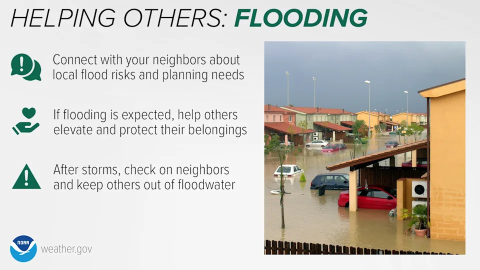
Drivers are reminded to not drive your vehicle through floodwaters. The water may be deeper than it appears. You will be putting yourself in danger and your vehicle may be damaged, leading to costly repairs.
What causes high tide?
According to the National Oceanic and Atmospheric Administration, high tides and low tides are caused by the moon. The moon's gravitational pull generates tidal force. The tidal force causes Earth – and its water – to bulge out on the side closest to the moon and the side farthest from the moon. These bulges of water are high tides.
Where is Hurricane Erin?
As of 11 a.m. Aug. 21, Hurricane Erin is 260 miles east of Cape Hatteras, North Carolina, with maximum sustained winds of 100 mph. Erin is a very large hurricane with hurricane-force winds extending outward up to 105 miles from the center and tropical-storm-force winds extending outward up to 320 miles.
The storm is moving north-northeast at 18 mph, but will make a turn toward the northeast with an increase in forward speed expected later Aug. 21, followed by an acceleration toward the east-northeast Aug. 22 into the weekend.
On the forecast track, the center of Erin will move over the western Atlantic between the U.S. East Coast and Bermuda through early Aug. 22, and then pass south of Atlantic Canada Aug. 22 and 23.
A tropical storm warning is in effect from the Beaufort Inlet in North Carolina to Chincoteague, Virginia.
How to stay safe in a flood
New Castle Emergency Management has tips on how to deal with rising waters.
Avoid Crossing Floodwaters: It's imperative not to walk, swim, or drive through floodwaters. A mere 6 inches of moving water can topple you, while a foot of water can displace your vehicle.
Procure Emergency Supplies: Ensure that you have an ample supply of non-perishable food and water. Aim to have at least a gallon of water per person and pets for a minimum of three days.
Know Your Evacuation Plan: If you reside in a flood-prone area, have an evacuation plan ready. Prepare a small bag with essential items, familiarize yourself with evacuation zones and routes, and have a designated place to go.
Secure Outdoor Items: Fasten any loose items outside your home, such as garbage bins, garden furniture, and other potential projectiles.
Stay Indoors: Avoid venturing outside unless necessary. If you must go out, steer clear from parking or walking under trees and overpasses.
Keep Devices Charged: Maintain a full charge on your mobile phones and other electronic devices in anticipation of potential power cuts.
Maintain Communication: Have a battery-powered radio on hand for updates on the situation. Register for emergency alerts at Smart911.com, and opt-in to receive emergency notifications from the state of Delaware and NCC.
How to drive in heavy rains
If you have to go out, here are some tips from AAA.com.
Don't go out unless it's an emergency.
Avoid cruise control.
Reduce your speed and increase stopping distances.
Avoid flooded areas and don't try to drive through standing water.
Avoid hydroplaning and if you do start to skid, steer the car in the direction you want to go and avoid slamming the brakes.
This article originally appeared on Delaware News Journal: How to prepare for coastal flooding from Hurricane Erin, high tides


Comments