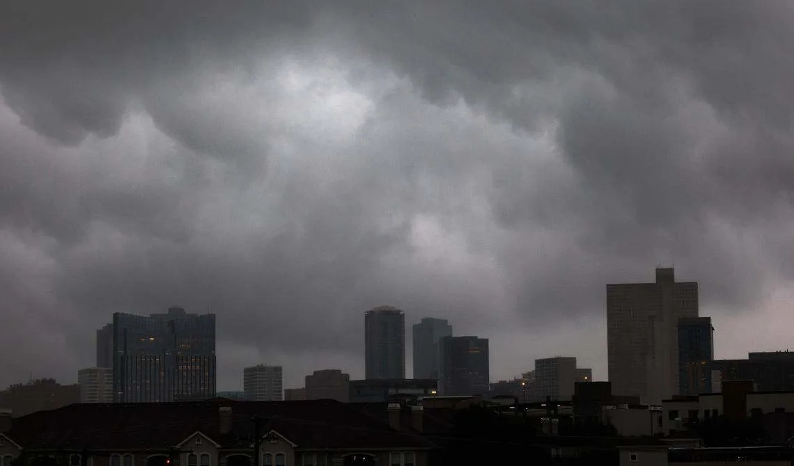
After recording some of the hottest conditions of the year Tuesday, forecasts show Alabama will get some relief from the stifling conditions over the weekend.
Forecasts are calling for a drop in temperatures and increase in rain chances Saturday through Monday. The respite isn't expected to stick around long, so enjoy it while it's here.
On July 29 a large chunk of the state went under an extreme heat warning with Selma recording a heat index of 116 at 11:35 a.m.; Montgomery had an index of 110 at 2:10 p.m. with Tuscaloosa coming in at 110 at 2:50 p.m. and Gadsden hitting 103 at 2:56 p.m., National Weather Service data shows. The heat index is the "feels like" temperature when you factor in the humidity.
More: Beat the summer heat in Alabama with these drinks deals, from Dunkin' to Panera
Cooler weather on the way

Two systems will come into play as August begins on Friday, a frontal system will work through the state and a cool wedge will bring Appalachian mountain air into northeast Alabama. How far the front makes it and how far the wedge goes will determine the drop in temps.
Gadsden, for instance, is likely to feel the effects of the wedge, sometimes called a "back door cold front" in weather parlance, more so than Montgomery and points south and west, said Daniel Martin, a meteorologist with the NWS office in Birmingham.
The front could push far into south Alabama.
"You can't really call it a cold front, not this time of year," Martin said. "But temperatures are expected to be in the mid 80s north and the low 90s south. Lows could dip into the upper 60s north and the mid 70s south."
The average high for July in the Montgomery area is 94, with the average low coming in at 72, weather records show. Take a few degrees off those numbers if you go north and add a few ticks if you head south. The average high and low for August for the Capital City isn't much different, coming in at 93 and 71.
More: Summer heat can cause cellphones to shut down. What to know during this Alabama summer
Weekend forecast
"The change is expected to begin gradually Thursday, with conditions improving Saturday through Monday," Martin said.
More: Three meteor showers active this week; one is stronger when viewed from Southern states
Along with the dip in temps, rain chances will increase, forecasts predict. Forecasts for the following cities show:
Gadsden
Saturday: A high of 87 and low of 67 with a 40 percent chance of rain.
Sunday: A high of 84 and low of 67 with a 60 percent chance of rain.
Monday: A high of 85 with a 40 percent chance of rain.
Montgomery
Saturday: A high of 92 and low of 73 with a 70 percent chance of rain.
Sunday: A high of 88 and low of 72 with a 70 percent chance of rain.
Monday: A high of 88 with a 50 percent chance of rain.
Selma
Saturday: A high of 90 and low of 72 with a 60 percent chance of rain.
Sunday: A high of 86 and low of 69 with a 70 percent chance of rain.
Monday: A high of 87 with a 50 percent chance of rain.
Tuscaloosa
Saturday: A high of 89 and low of 72 with a 30 percent chance of rain.
Sunday: A high of 86 and low of 70 with a 60 percent chance of rain.
Monday: A high of 86 with a 50 percent chance of rain.
Temperatures are expected to return to near normal next week and rain chances will decrease, the forecast shows.
Contact Montgomery Advertiser reporter Marty Roney at [email protected]. To support his work, please subscribe to the Montgomery Advertiser.
This article originally appeared on Montgomery Advertiser: Alabama heat wave: How long will it last? What we know


Comments