How much rain fell in Minnesota during Friday night's storms? originally appeared on Bring Me The News.
Storms brought torrential rain to parts of Minnesota on Friday night into Saturday morning, sparking concerns over flash flooding in urban areas.
Severe storms swept east across Minnesota over the course of Friday evening and for a long time were considered severe before reaching the Twin Cities between 3 a.m. and 6 a.m.
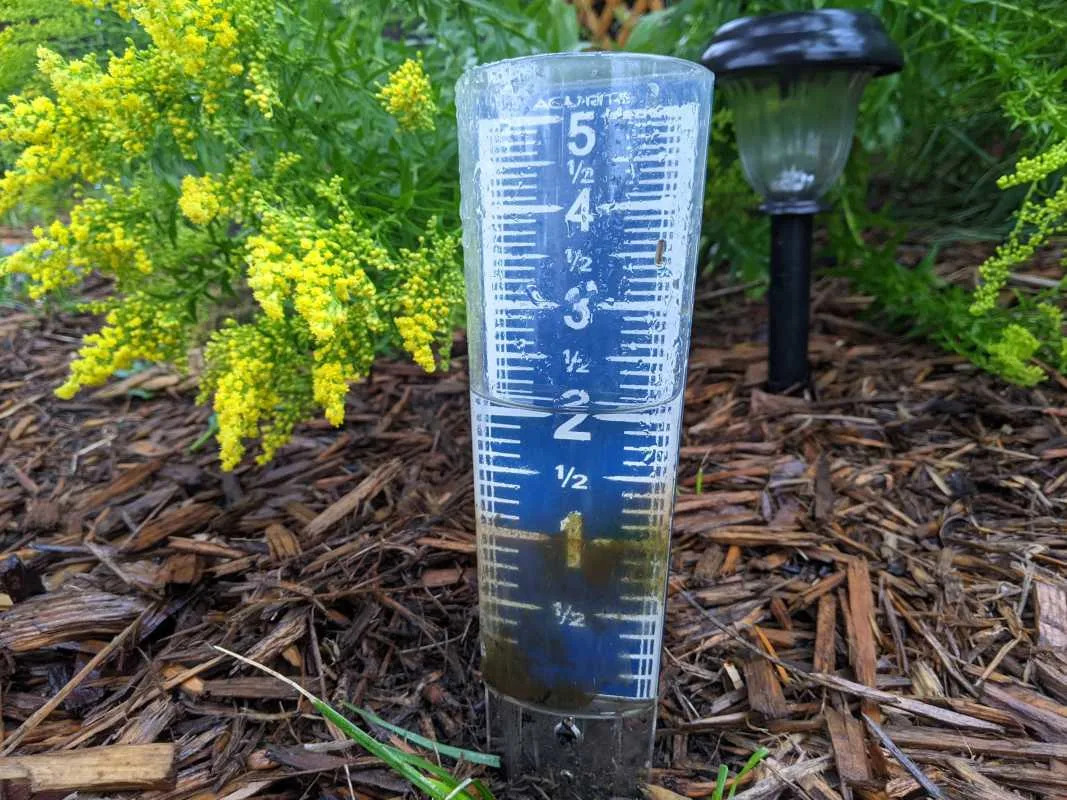
The storm system weakened as it approached the metro, but still contained more than enough moisture to drop more than two inches of rain in a short period of time, as well as cutting power to more than 13,000 homes.
Here's a look at the latest rain totals shared with the Community Collaborative Rain, Hail and Snow network (CoCoRAHs).
This list will be updated as more totals come in.
2.83 inches – Elba
2.63 inches – Trail
2.49 inches – Maple Lake
2.46 inches – Howard Lake
2.43 inches – Minneapolis
2.29 inches – Cotton
2.06 inches – Roseville
2.00 inches – Buffalo
1.93 inches – Plymouth
1.91 inches – South Haven
1.88 inches – Aurora
1.82 inches – Maple Grove
1.80 inches – Ely
1.77 inches – Minnetonka
1.76 inches – Cokato
1.75 inches – Mahtomedi
1.73 inches – Columbia Heights, Fridley
1.67 inches – Dassel
1.66 inches – St. Anthony, Motley
1.65 inches – Stillwater, Maplewood
1.63 inches – Mounds View, Long Lake, New Brighton
1.62 inches – St. Paul, Ham Lake, Wayzata
1.61 inches – Big Lake
1.60 inches – Hoyt Lakes, Independence, Clearwater
You can find more rain totals here
This story was originally reported by Bring Me The News on Aug 9, 2025, where it first appeared.


Comments