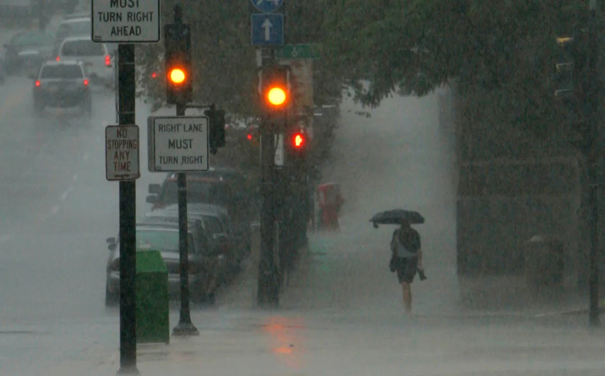
After a sunny, 85-degree end to the work week, multiple rounds of storms could hit Wisconsin tonight through Aug. 19, possibly bringing more river flooding.
Starting at 9 p.m. Aug. 15, a band of showers and thunderstorms is expected to begin its journey across the state, dumping a possible 1-2 inches of rain per hour, according to the National Weather Service.
Milwaukee has a 30% of rain overnight tonight and during the day Saturday, and odds go up to 50% later Saturday evening, which is also when the heaviest rainfall is likely to occur.
Central Wisconsin is slated to get the most rain, while the Milwaukee area has a 37% chance to get over 1 inch. Slightly west in Waukesha, chances go up to 46%.
If southeastern Wisconsin gets heavily impacted with over 1 inch, the NWS is projecting current flooding may be exacerbated, with high odds of more river flooding.
But, Milwaukee-Sullivan National Weather Service meteorologist Cameron Miller said each thunderstorm will be influenced by previous round of thunderstorms, making it difficult to accurately predict.
"That will kind of throw a wrench in the forecast," Miller said.
This article originally appeared on Milwaukee Journal Sentinel: More river flooding possible as rain, storms hit Wisconsin


Comments