Hurricane Erin is currently passing by North Carolina, and forecasted to be closer to Delaware by Thursday evening, Aug. 21, according to predictive models.
While the hurricane will not have a direct impact in Delaware, as it is not expected to make landfall here, the system will keep coastal waters unsettled.
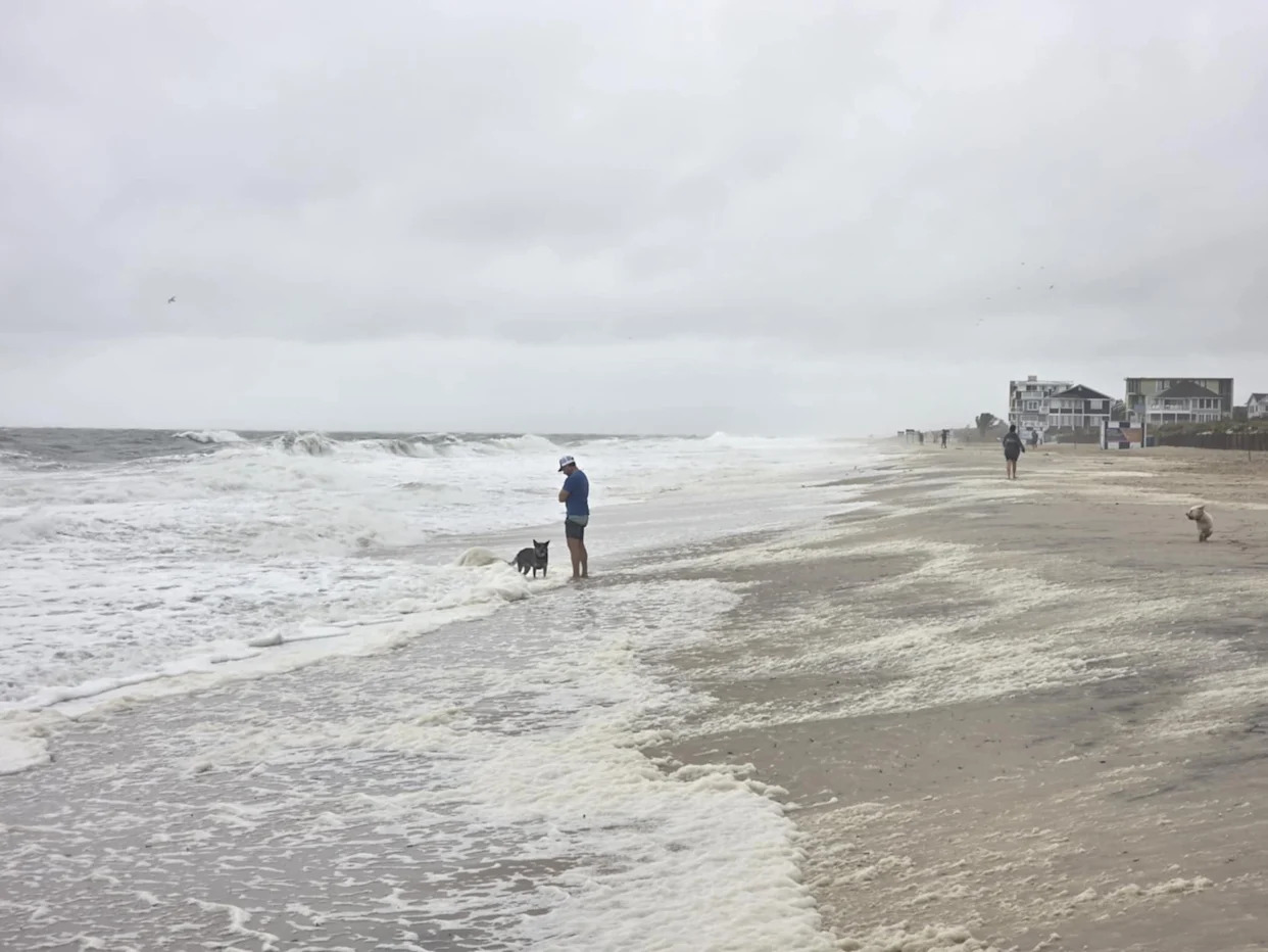
There is a high risk for dangerous rip currents, choppy seas through the weekend, and tropical storm-force winds should be felt on Delaware beaches, the National Weather Service forecasted.
Coastal flooding warning for Delaware is imminent: NWS
The NWS issued a coastal flooding warning for Sussex and Kent counties in Delaware. As opposed to a coastal flooding watch, a warning means that the risk is imminent, and most certainly will happen. The forecast expects up to two feet of inundation near the shore and also around tidal waterways inland.
Coastal flooding is forecasted to be the worst on Thursday evening.
To track water levels near you in real time, check out the National Water Prediction Service.
Juan Carlos Castillo is a New Jersey-based trending reporter for the USA Today Network. Find him on Twitter at _JCCastillo.
This article originally appeared on Delaware News Journal: Hurricane Erin path puts parts of Delaware at risk of floods


Comments