With Hurricane Erin continuing to pound the Outerbanks on Aug. 20, Delaware ocean beaches began permitting wading in the afternoon, and in some cases, surfing and boogie boarding.
In Rehoboth, Dewey and Bethany beaches today, lifeguards are allowing beachgoers to enter the ocean up to their waist. In Dewey, experienced surfers and body boarders are permitted to venture farther out.
Rehoboth lifeguards expect restrictions to return later today and especially tomorrow, city spokesperson Erin Corcoran said.
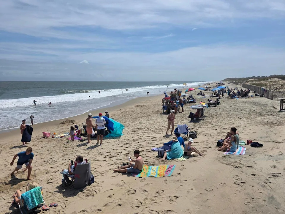
Conditions are different at all state park beaches so check the flags flying on lifeguard chairs and read corresponding signs. Be alert for rough surf and rip tides.
As of 1 p.m. a yellow flag was being flown at Cape Henlopen State Park's main beach which indicates swimming is allowes but caution should be exercised.
State parks beach include:
Tower and South Inlet beaches in Delaware Seashore State Park
Deauville Beach
Fenwick Island State Park beach
Cape Henlopen State Park main beach
Neighboring Ocean City, Maryland has prohibited swimming.
Beach vacation rained out? Don't let Hurricane Erin ruin your Delaware beach vacation. Great ways to rescue the fun
"Swimmers should only enter to knee depth. Experienced surfers and boogie boarders may proceed beyond," a Dewey Beach social media post said.
Swimming continues to be permitted in Lewes, which is on the Delaware Bay and typically has much calmer water.
Hurricane Erin is currently a Category 2 storm. As of 11 a.m. Aug. 20, Erin was located about 365 miles south-southeast of Cape Hatteras, North Carolina. It had sustained winds of 110 mph and is moving north-northwest at 13 mph. It will start making its turn north on Aug. 20, followed by a faster motion toward the northeast and east-northeast by Aug. 21 and 22.
Hurricane tracker: See where Hurricane Erin is headed
Delaware's Atlantic coastline is under a high risk for rip currents. Tropical storm force gusts are possible along the coast Aug. 21, with breaking waves of 5 to 8 feet Aug. 20 and 7 to 11 feet Aug. 21.
Widespread minor to moderate coastal flooding is forecast for Aug. 21 and 22 during evening high tides. Locally major coastal flood impacts are possible in Kent and Sussex.
Weekly guide to the Delaware beaches: What to do in hurricane weather
Shannon Marvel McNaught reports on southern Delaware and beyond. Reach her at [email protected] or on Facebook.
This article originally appeared on Delaware News Journal: Delaware beaches allow some ocean wading ahead of Hurricane Erin


Comments