A company that produces maps for hunters and hikers has partnered with a conservation nonprofit to create a map of Bureau of Land Management-managed parcels in the West that appear to be at risk of sale or “disposal,” including numerous parcels in Southern Idaho.
The Theodore Roosevelt Conservation Partnership and onX published the data in early August. It highlights around 6 million acres of public land in 17 states that has been flagged as eligible for sale or disposal — a designation that doesn’t necessarily mean the land will be sold.
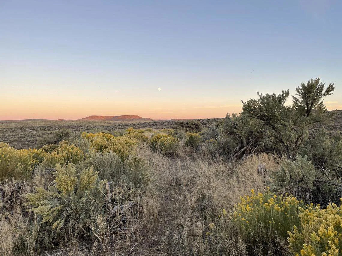
The data came from resource management plans for Bureau of Land Management field offices across the country, onX officials said. Some of those plans date back decades, including one in eastern Idaho that was approved in 1985. Dozens of Idaho parcels are part of the map, primarily along the Snake River Plain in the southern part of the state.
Federal law allows the Bureau of Land Management to dispense with land that doesn’t “serve the national interest” or parcels that have other community value or are particularly difficult to maintain, among other reasons.
The nonprofit and mapping company noted that it’s unclear what the disposal designation means for any of the parcels they identified, since many have remained untouched for years. Still, they said, it’s important to acknowledge the possibility that the government has the ability to the sell the land. Public land sales recently were a hot topic when U.S. Sen. Mike Lee, R-Utah, proposed selling millions of acres as part of Congress’ recent budget reconciliation bill.
One Bureau of Land Management official in the agency’s Eastern Montana/Dakotas district field office told the Billings Gazette that parcels with public access are unlikely to be sold and disputed the accuracy of the map. The Boise District Office for the agency did not immediately respond to a request for comment from the Idaho Statesman on the map’s accuracy.
The Idaho parcels identified on the map have been flagged for potential sale for varying durations. Many of the parcels in the Boise area are attributed to a resource management plan for the Bureau of Land Management’s Four Rivers Field Office that was approved just last year.
Others include management plans for the Owyhees and Challis issued in 1999, a plan for the Jarbidge area near Twin Falls dating to 2015 and the 1985 Medicine Lodge plan for parcels near the Wyoming border.


Comments