DAYTONA BEACH — Hurricane Erin strengthened into a vicious Category 5 Hurricane with 160-mph maximum sustained winds on Saturday, Aug. 16, according to the latest advisory from the National Hurricane Center.
Once the now-catastrophic storm intensified to 157-mph sustained winds, it became a Category 5 hurricane.
Erin reached hurricane status just 24 hours ago late Friday morning, reaching maximum sustained winds of 75 mph. By 8 a.m. Saturday it had grown into a Category 4 hurricane with 155-mph winds, and it kept climbing.
Erin's outer bands are now starting to pummel the Caribbean. The forecast cone continues to take the rapdily intenstifying storm well east of Florida, showing a path that has it beginning to push to the north out in the Atlantic Ocean on Monday and then bend toward the northeast by Wednesday. It should be off the coast of North Carolina, although by a large distance, early Thursday morning.
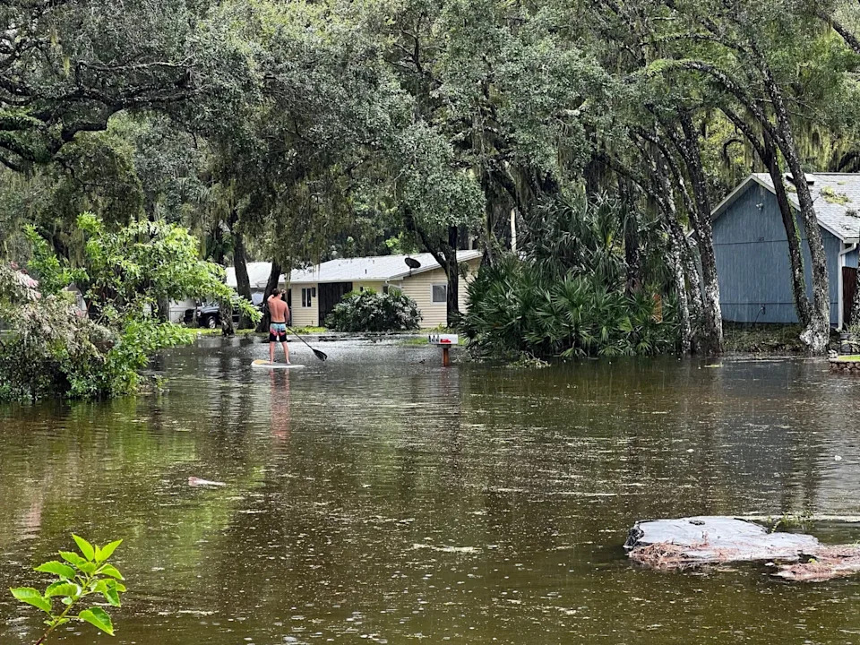
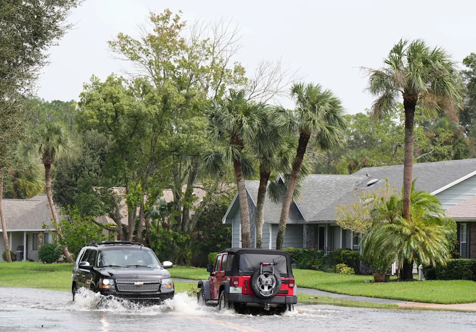
Volusia and Flagler counties should expect strong coastal impacts that will begin Monday and last through Friday. That will mean dangerous surf and rip currents and impacts to boaters even if the sun is out and the weather is mild.
Erin is also expected to produce dangerous surf and rip currents next week along the beaches of the Bahamas, and much of the east coast of the United States and Canada.
Hurricane Erin expected path
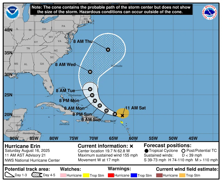
On Saturday Hurricane Erin was located a few hundred miles northeast of the northern Leeward Islands.
Erin was moving at 20 mph Saturday morning to the west-northwest, but a turn to the north is expected early next week.
People in the northern Leeward Islands, Virgin Islands, Puerto Rico, Turks and Caicos, and the southeastern Bahamas have been cautioned to by the hurricane center to monitor developments of Erin.
The center of Erin is expected to move just north of the northern Leeward Islands, the Virgin Islands, and Puerto Rico over the weekend.
Erin, the first hurricane of the 2025 Atlantic hurricane season, is forecast to continue rapidly strengthening.
The outer bands of Erin are expected to produce 2 to 4 inches of rainfall and isolated totals of 6 inches across the northern Leeward Islands, the Virgin Islands, and Puerto Rico through Aug. 17. Flash and urban flooding, and landslides or mudslides, are possible.
Weather forecast for Daytona Beach area
On Saturday there was a 50% chance of showers and thunderstorms in the Daytona Beach area, according to the National Weather Center, mainly after 1 p.m. The forecast called for mostly sunny skies with a high near 92. Heat index values could climb as high as 102.
New rainfall amounts of less than a 10th of an inch are expected, although that could be higher in areas that see thunderstorms pass through.
Saturday night there is a chance of showers and thunderstorms before 2 a.m., then a slight chance of showers and thunderstorms after 5 a.m. The NWS forecast calls for partly cloudy skies with a low around 77. The chance of precipitation is 40%.
On Sunday showers and thunderstorms are likely, mainly after 2 p.m. The temperature is expected to be near 90 degrees. The chance of precipitation is 70%. New rainfall amounts between a quarter and half of an inch are possible.
Sunday night showers and thunderstorms are likely, mainly before 8 p.m. It will be partly cloudy with a low around 77. Chance of precipitation is 60%.
Monday showers and thunderstorms are likely, mainly between 2 p.m. and 5 p.m., and there would be a thunderstorm after 5 p.m., according to the NWS. The high is expected to be near 90. Winds will be northeast at 5 to 10 mph, with gusts as high as 20 mph. Chance of precipitation is 60%.
Monday night showers are likely and there could be a thunderstorm before 8 p.m. Chance of rain is 60%.
You can reach Eileen at [email protected]
USA TODAY NETWORK reporters Kim Luciani and Cheryl McCloud contributed to this report
This article originally appeared on The Daytona Beach News-Journal: Hurricane Erin now a dangerous Category 5 hurricane


Comments